Historical Map
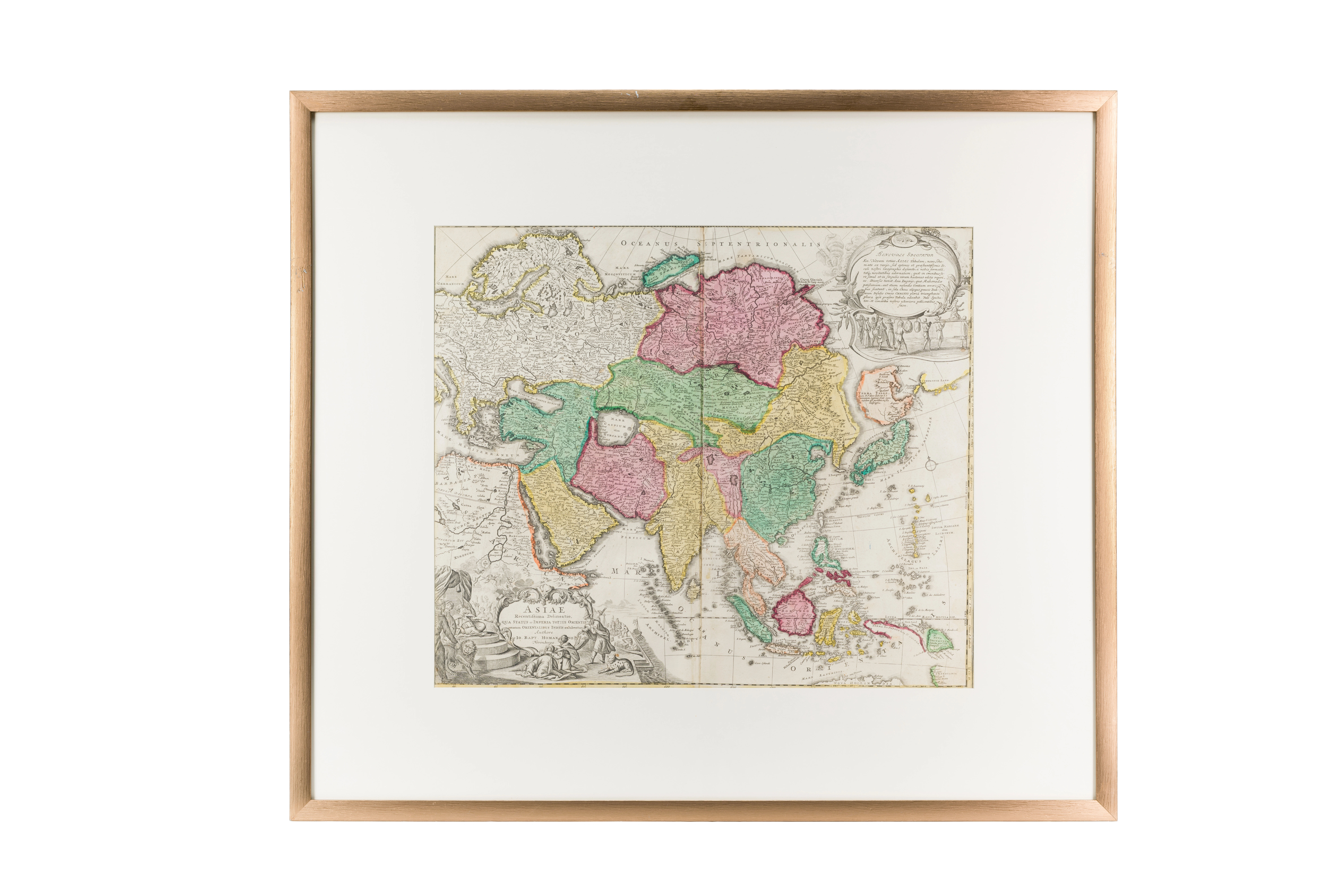
Asia. Eastern countries. Johann Baptist Gomann (1664–1724). 1710–1720 . Nuremberg. 47.4 × 55.3 cm
Audio guide
Audio available in: RU
Description
This early 18th-century map of Asia was produced by Johann Baptist Homann, one of the most influential German cartographers of the Enlightenment period.
Compared to earlier maps, this work demonstrates an important stage in the refinement of European geographical knowledge about Central Asia. Notably, the shape of the Caspian Sea is shown with greater accuracy, reflecting improved information obtained through diplomatic and commercial contacts with the Islamic states of the region.
Central Asia is highlighted in color and identified as the land of the Uzbeks and Free Tartary. Such terminology reflects the European understanding of the region as a territory of independent Muslim states, particularly the Khanates of Bukhara and Khiva.
Major cities including Samarkand, Bukhara, Balkh, and Urgench are clearly marked. For European scholars, these cities symbolized the intellectual heritage of the Islamic world, especially in the fields of astronomy, medicine, and mathematics.
The decorative cartouche at the bottom of the map is also noteworthy. Scenes of caravan trade and figures in Eastern attire visually emphasize Asia as a region of sophisticated urban cultures and long-distance commerce.
This map illustrates a historical phase when European cartography increasingly incorporated knowledge developed within Islamic civilization, leading to a more accurate geographical understanding of Asia.