Historical Map
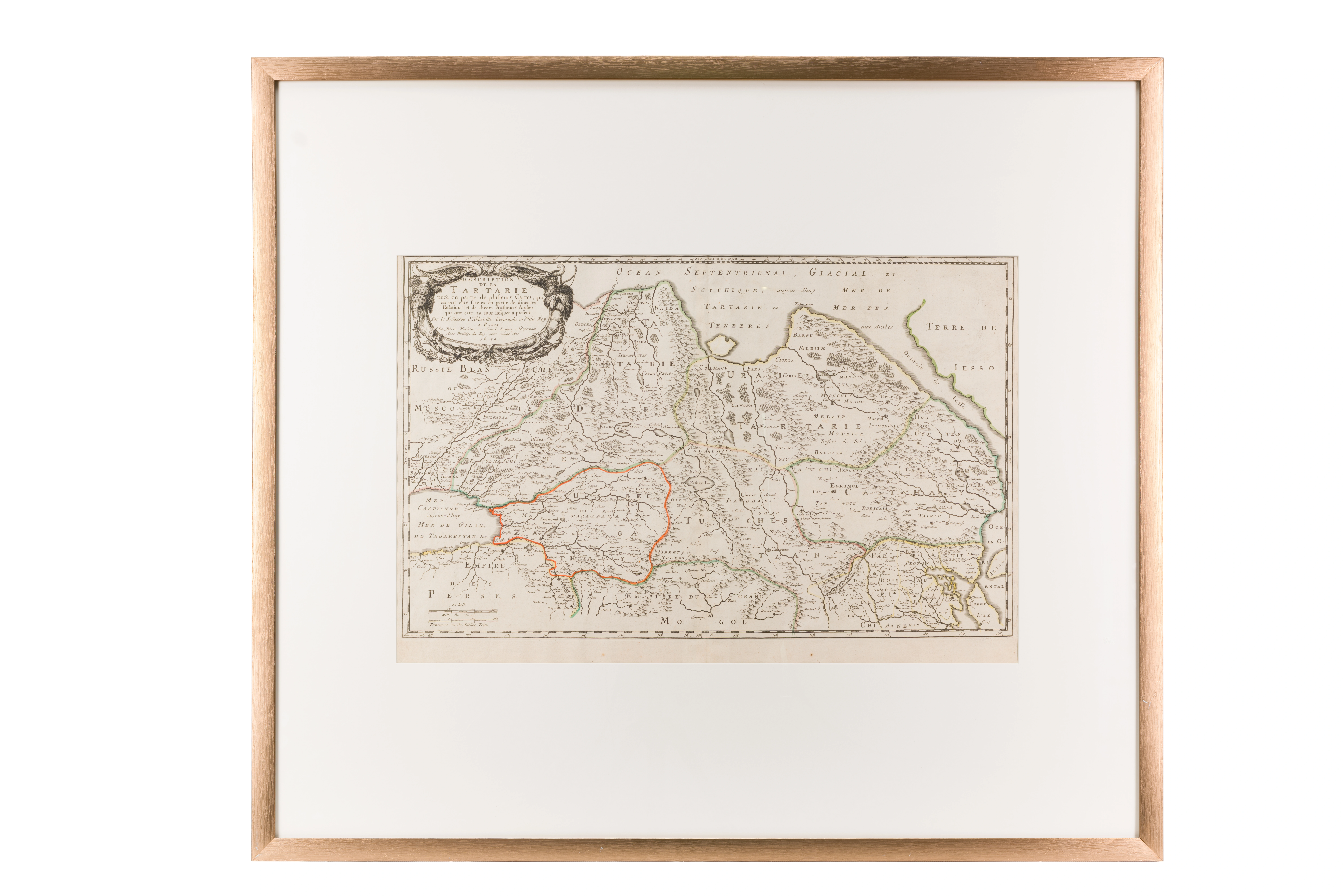
Description of Tartary. Nicolas Sanson (1600–1667). 1654 . Paris. 38 × 58 cm
Audio guide
Audio available in: RU
Description
This map is one of the first European scientific attempts at a systematic description of Central Asia based on proven Eastern sources. It was produced by the French cartographer Nicolas Sanson, considered one of the founders of modern scientific geography.
A significant detail appears in the title cartouche, where the author explicitly states that the map was compiled using the works of Arab scholars. This represents a rare recognition by European cartographers of the advanced geographical knowledge preserved in the Islamic world. The map includes traditional regional designations such as Mawarannahr, Chagatai, and Independent Tartary. These terms reflect the political landscape of the 17th century, when the Khanates of Bukhara and Khiva functioned as independent Muslim states.
Cities such as Samarkand, Bukhara, and Urgench are prominently marked. For European scholars, these locations were known as intellectual centers associated with astronomy, madrasas, and transcontinental trade routes.
The Amu Darya and Syr Darya rivers are depicted as natural boundaries of the region. Their appearance under the classical names Oxus and Jaxartes (Jayhun va Sayhun) further demonstrates the author's reliance on the Islamic geographical tradition.
Within the exhibition framework, this map illustrates how knowledge developed in the Islamic East became integrated into the scientific worldview of 17th-century Europe.