Historical Map
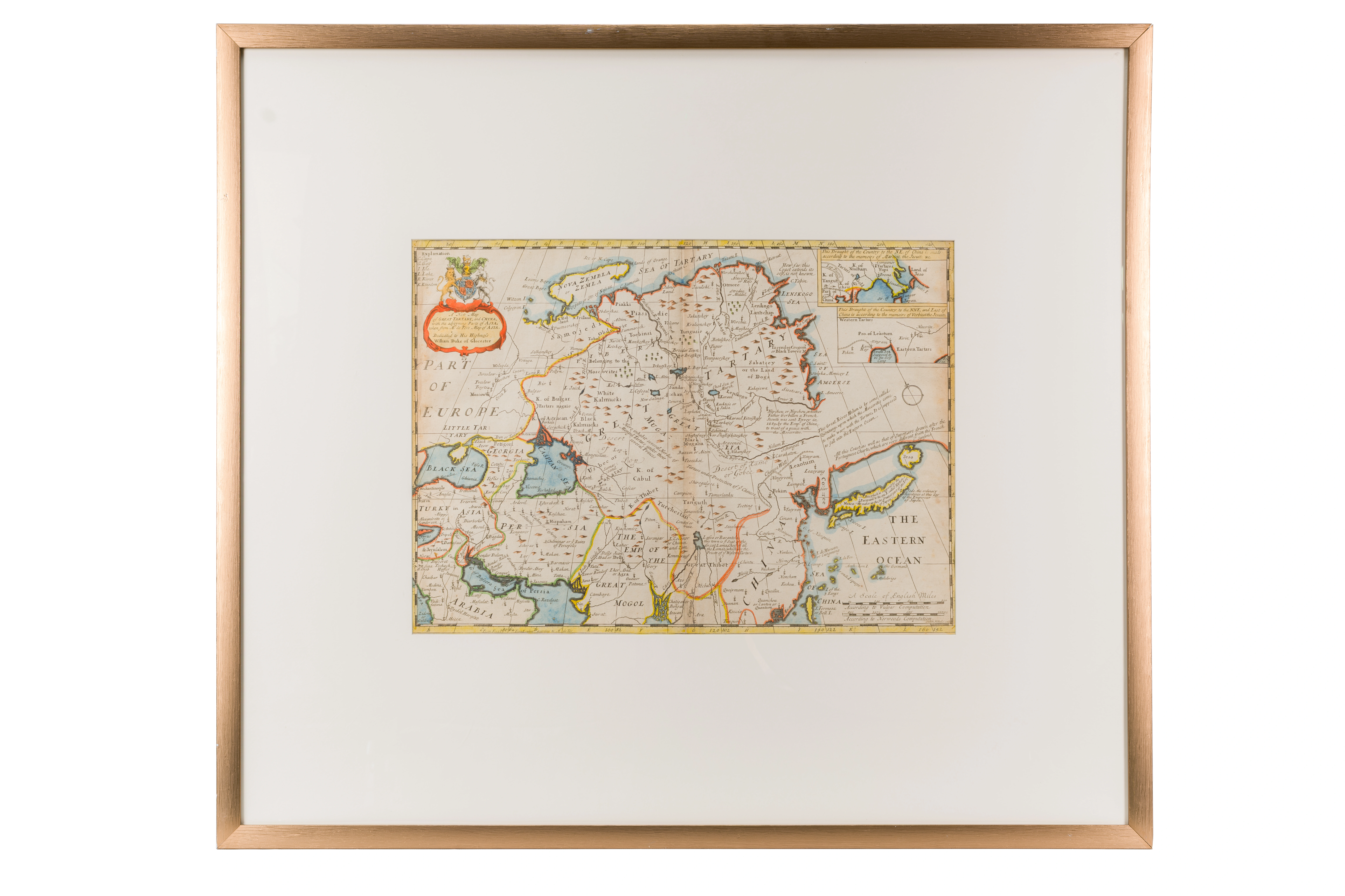
New map of Great Tartary and China. Nicolas de Fer (1646–1720). Circa 1700 . London. 37 × 51 cm
Audio guide
Audio available in: RU
Description
This historical map of Great Tartary and China was produced around 1700 by the prominent European cartographer Nicolas de Fer. Maps like this were not only geographic tools but also served as Europe’s visual gateway to the relatively unknown regions of Central Asia.
At the time, the term “Tartary” was commonly used by European geographers to describe vast and only partially understood territories across Eurasia. On this map, the region is divided into several zones, including what is labeled Independent Tartary–corresponding to the Islamic states of Central Asia such as the Khanates of Bukhara and Khiva.
Major cities such as Samarkand and Bukhara are prominently marked. For European audiences, these cities symbolized important centers of trade and Islamic scholarship. Much of the geographic knowledge about them came from merchants, diplomats, and missionaries who traveled along Asian trade routes.
The map also reflects the political situation of its time. Central Asia is shown as a strategic region between the Russian Empire and China of the Qing Dynasty, a kind of cultural and commercial bridge between the great powers.
This exhibit demonstrates how the European scientific understanding of Central Asia and its role in world history was gradually formed.