Historical Map
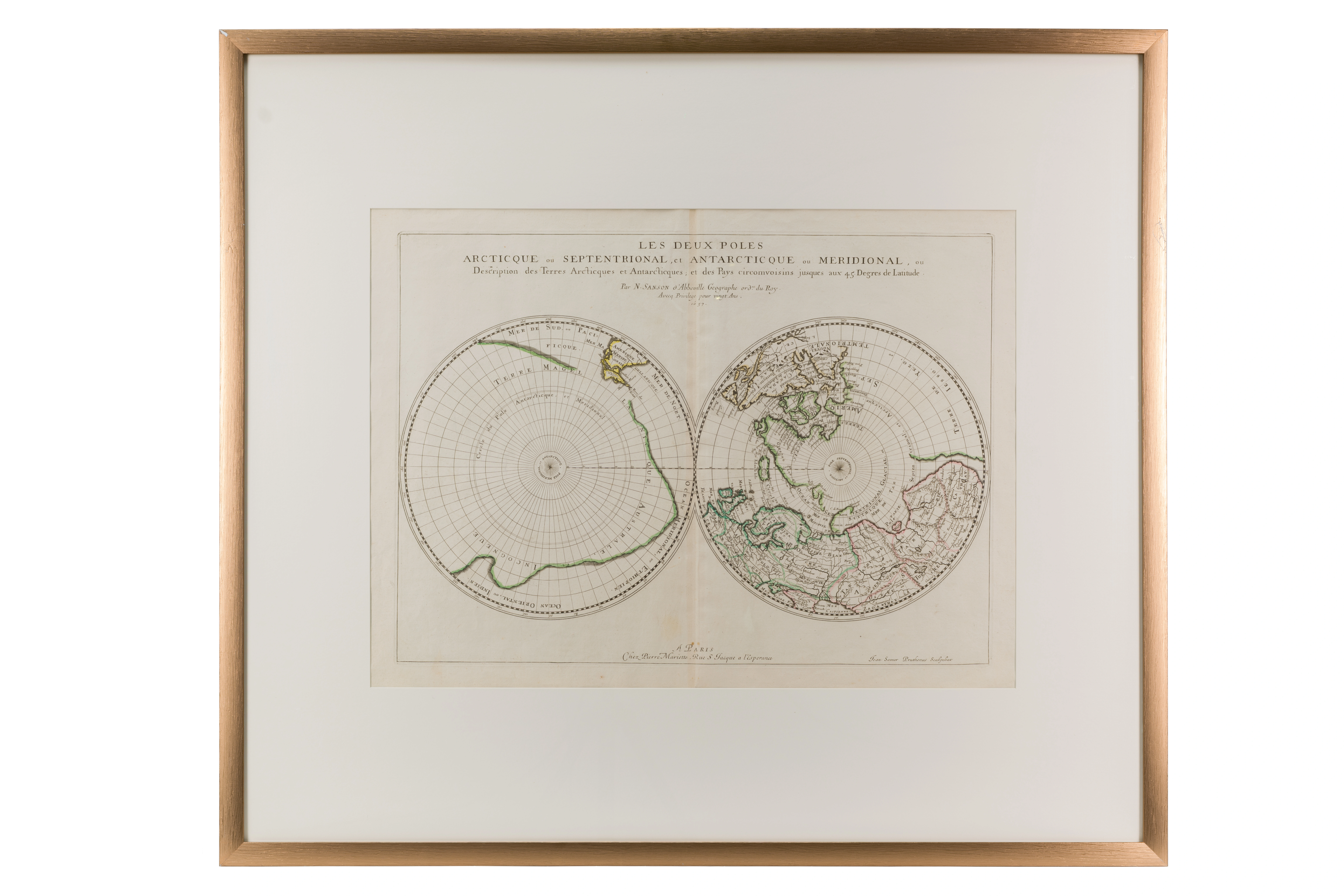
North Pole (Arctic) and South Pole (Antarctic). Nicolas Sanson (1600–1667). 1657 . Paris. 43 × 58 cm
Audio guide
Audio available in: RU
Description
This map represents a rare example of 17th-century scientific cartography, presenting the Earth through polar projections – a view of the planet from the perspectives of the Arctic and Antarctic regions. Such representations required advanced mathematical calculations and relied not only on European but also on earlier achievements of Islamic science.
The intellectual foundations of such cartographic methods can be traced to developments in spherical geometry and astronomy within the Islamic world. In particular, the works of Abu Rayhan al-Biruni contributed significantly to the mathematical principles used for projecting the spherical surface of the Earth onto a flat plane.
The grid visible on the map reflects the coordinate system of latitude and longitude. The refinement of such measurements was closely connected to astronomical tables produced in major observatories of the Islamic world, including the observatory of Ulugh Beg in Samarkand, where geographical coordinates were calculated with remarkable precision.
Visually, the circular structure of the map recalls the form of the astrolabe, an instrument perfected in Islamic astronomy and navigation. Such devices enabled navigators to determine their position using stellar observations.
Within the exhibition narrative, this map illustrates how European geography of the 17th century was built in part upon mathematical and astronomical knowledge developed earlier within the scientific traditions of Islamic civilization.