Historical Map
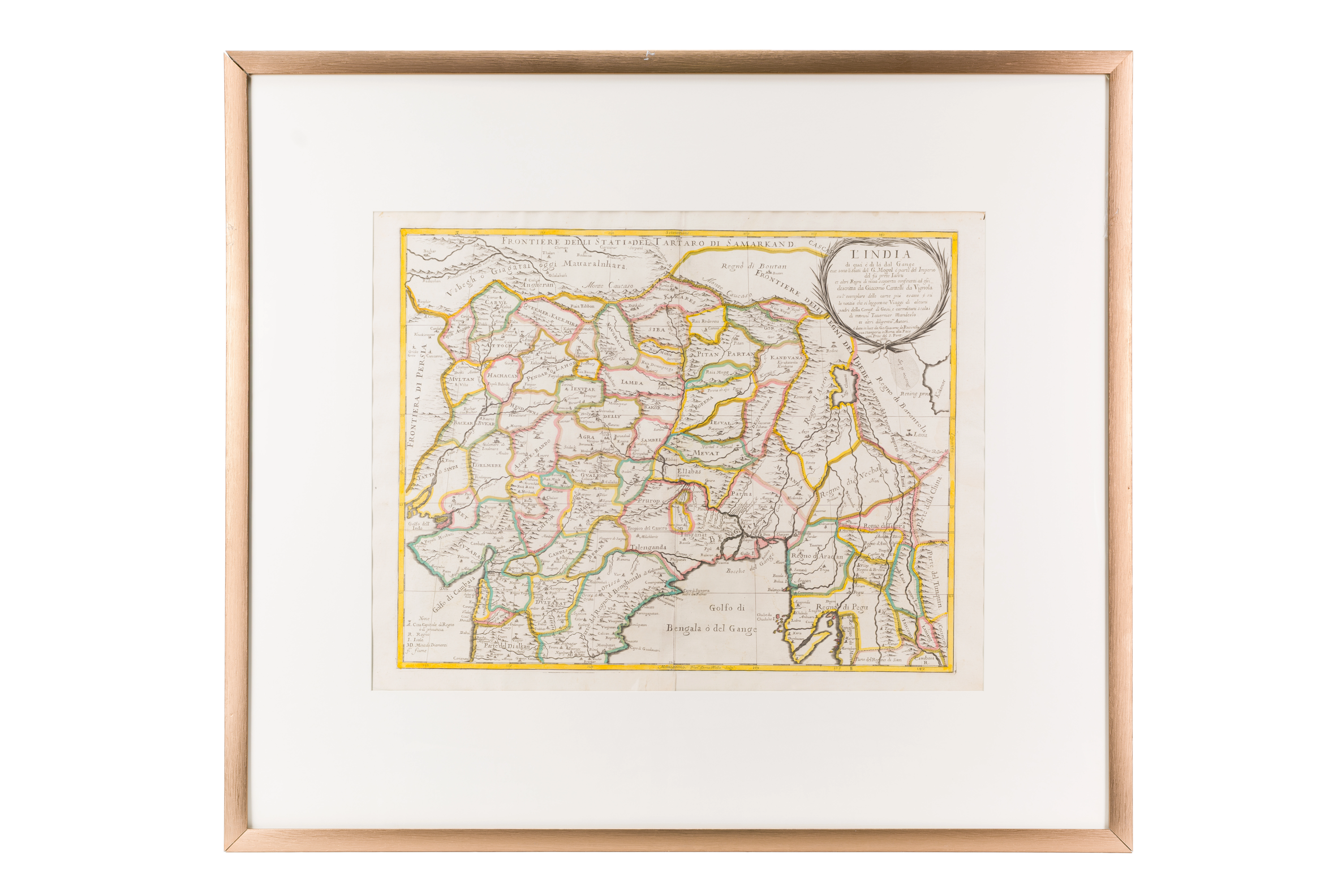
India on both sides of the Ganges River (The Great Baburid Empire). Giacomo Cantelli da Vignola (1643–1695). 1683 . Rome. 44.7 × 57.3 cm
Audio guide
Audio available in: RU
Description
This map reflects how 17th-century European geography understood the political structure of South Asia during the height of the Mughal Empire. Created by the Italian cartographer Giacomo Cantelli da Vignola, it illustrates the growing European scholarly interest in the major Islamic states of the East.
The central focus of the map is the territory of the Mughal Empire, one of the largest Islamic empires of its time. Major cities such as Delhi, Agra, and Lahore are clearly indicated as centers of political authority, Islamic architecture, and courtly culture.
An important aspect of the map is the connection between this empire and Central Asia. The ruling dynasty traced its origins to the Timurid tradition associated with Samarkand and the Ferghana Valley. Through the mountain corridors of the Hindu Kush, trade and cultural exchange connected India with the broader Islamic world of Mawarannahr.
Colored boundary lines indicate administrative divisions within the empire, reflecting for European cartographers a structured and sophisticated system of governance.
Within the “Second Renaissance” section, this map demonstrates how Islamic empires of South Asia became integrated into the global geographical vision shaped by early modern science, diplomacy, and long-distance trade.