Historical Map
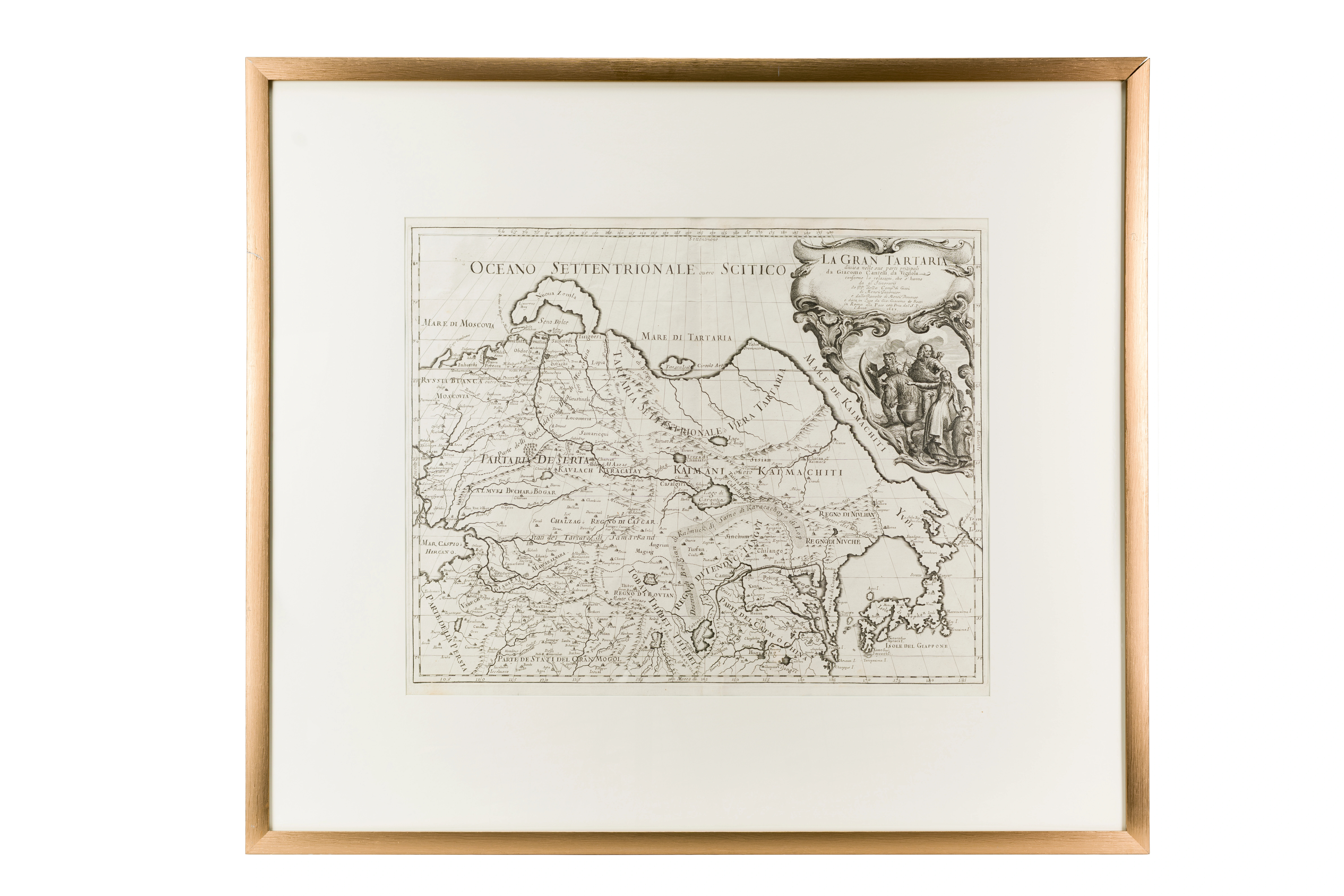
Great Tartary and its Main Divisions. Giovanni Giacomo de Rossi (1627–1691). 1683 . Rome. 45 × 55 cm
Audio guide
Audio available in: RU
Description
This map illustrates how 17th-century European cartography interpreted the political and cultural geography of Central Asia. It was published in Rome by Giovanni Giacomo de Rossi based on the work of the cartographer Giacomo Cantelli da Vignola, one of the leading geographical scholars of his time.
Central Asia is identified here as “Great Tartary,” a geographical term used by European scholars for the vast territories east of the Caspian Sea. The differentiation of regional areas reflects the existence of independent Muslim states, particularly the Khanates of Bukhara and Khiva.
Major cities such as Samarkand, Bukhara, and Urgench are prominently indicated. For European geographers, these cities functioned as key reference points because they were located along caravan routes linking the Islamic world with India and China. The map therefore reflects the region’s role as a corridor of long-distance exchange.
The geography also reveals the limits of contemporary knowledge. The Caspian Sea appears elongated, while inland regions are rendered schematically. This reflects the fact that information about the region was largely derived from merchants and travel accounts.
Within the “Second Renaissance” section, this map demonstrates how Islamic Central Asia became integrated into the emerging global framework of geographical knowledge and intercultural connections.