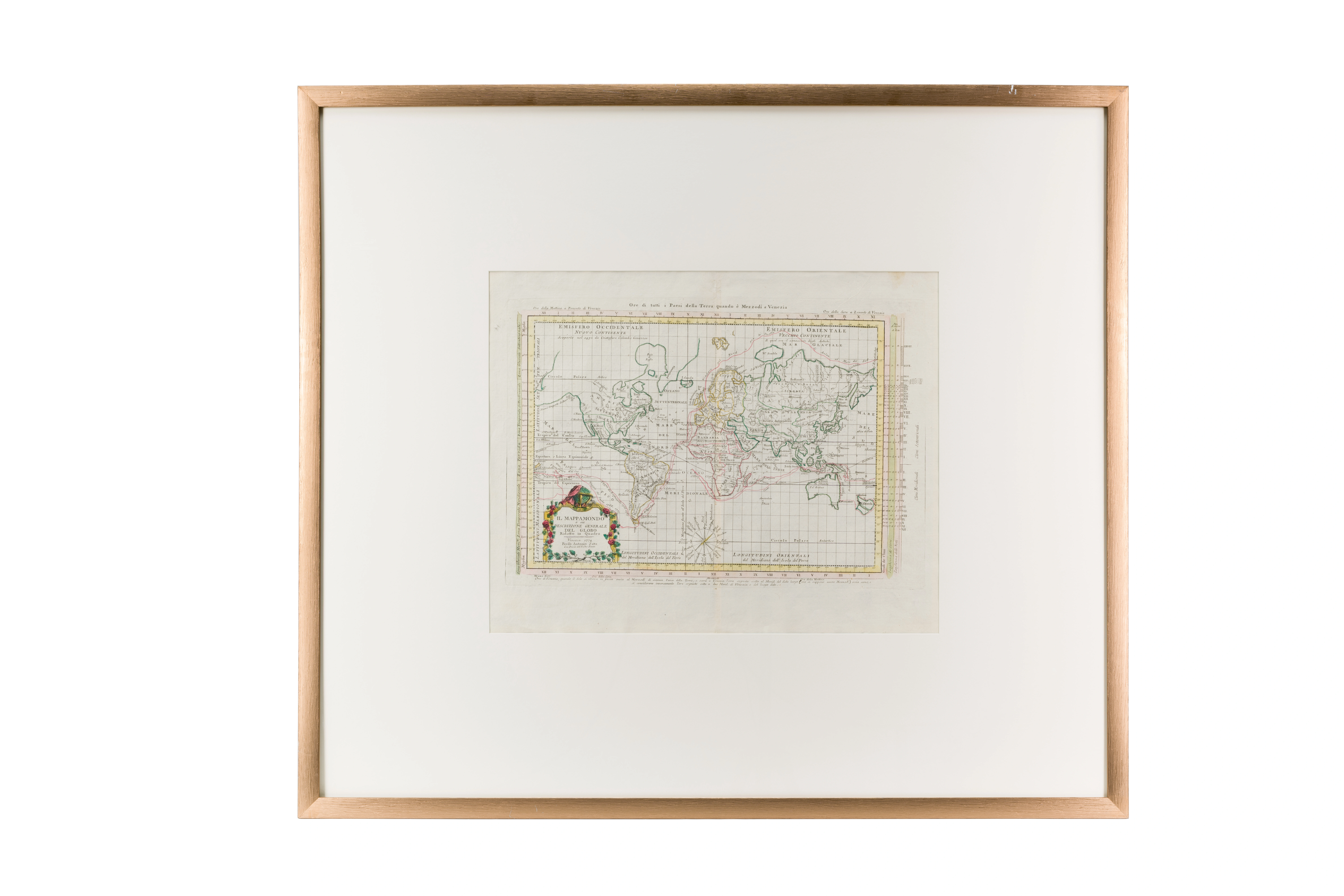
General Description of the Globe (Square World Map)
Antonio Zatta (1757–1797). 1774 . Venice. 37 × 46 cm
Audio guide
Audio available in: RU
Description
Eighteenth-century cartography reflects not only European geographical knowledge but also contemporary perceptions of the Islamic East as an integral part of the global world. This map by the Venetian cartographer Antonio Zatta illustrates how Central Asia was understood within the scientific geography of the early modern period.
The map includes regions corresponding to the historical territories of the Islamic world. Mawarannahr appears through major cities such as Samarkand, Bukhara, and Urgench, which at that time functioned as important centers of Islamic scholarship, craftsmanship, and long-distance trade. European cartographers regarded these cities as key nodes of transcontinental exchange.
It is also important to note that such maps were not based solely on European sources. Cartographers relied on earlier Arabic and Persian geographical works as well as travel accounts from the 17th and 18th centuries. This explains the presence of numerous toponyms derived from the Islamic scholarly tradition.
On European maps, Central Asia was often grouped under the name “Tartary,” a broad geographical designation used for territories east of the Caspian Sea. At the same time, the depiction of distinct regions indirectly reflects the political reality of independent Muslim khanates such as Bukhara and Khiva.
Within the “Second Renaissance” section, this map demonstrates how the Islamic world was integrated into the emerging global system of scientific geography and intercultural exchange.