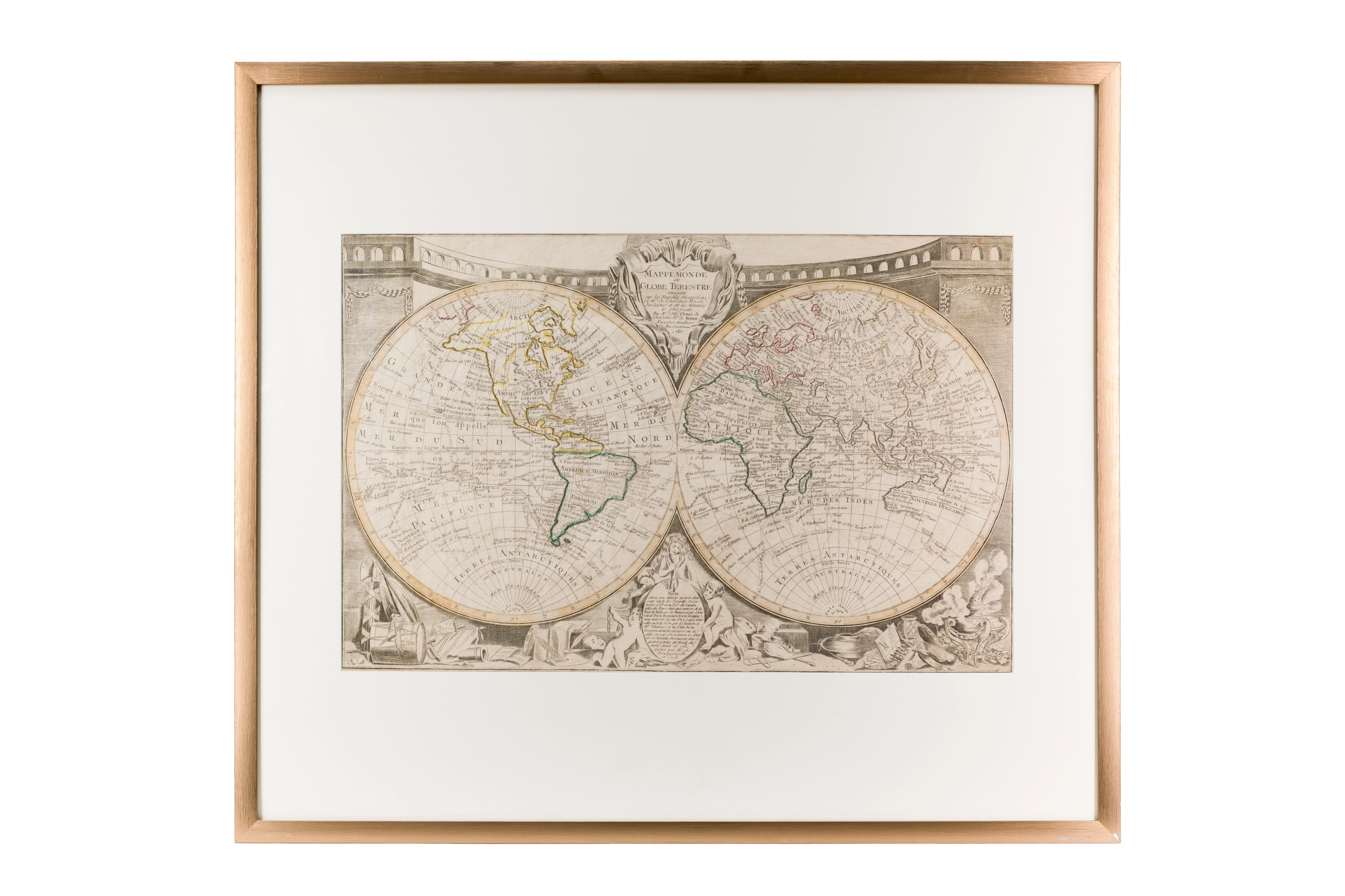
World Map (Image of Earth)
Based on new observations. Jean-Baptiste Louis Clouet (c.1730–1790). 1787. Paris. 42 × 65 cm
Audio guide
Audio available in: RU
Description
This world map from 1787 was created by the French cartographer Jean-Baptiste Louis Clouet during the Age of Enlightenment, a period when geography was increasingly shaped by scientific observation and global exploration.
Unlike earlier maps, where Central Asia often appeared as poorly understood region, this map presents it as part of a developing global political system. European scholars of the period had access to improved geographic knowledge through expeditions, diplomatic reports, and scientific exchange.
The map identifies the region known as Independent Tartary, referring to the Islamic states of Central Asia. At the time, this area was understood as a distinct political and cultural zone situated between the Russian Empire and Qing China.
Cities such as Samarkand and Bukhara are also clearly marked. By the late eighteenth century, these cities were recognized not only as trade centers but also as important hubs of Islamic scholarship, known for their madrasas and intellectual traditions.
This map captures a historical moment when Central Asia was still viewed as an independent and significant region within Eurasia, just before the major geopolitical transformations of the nineteenth century.